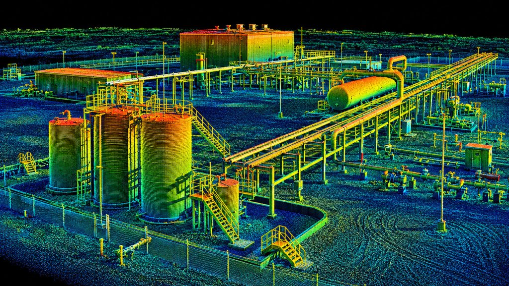
Drone Mapping & Aerial LiDAR Services
2D MAPPING • 3D MODELING • PRECISION SITE DATA
Detailed aerial mapping and LiDAR scanning for construction, industrial, mining, and commercial properties. From high-resolution maps to complex 3D datasets, we provide accurate, actionable information to help you better understand and document your site.
Serving Salt Lake City, Utah and the Wasatch Front since 2015.