Industrial & Mining Drone Photography & Video
AERIAL & GROUND DOCUMENTATION
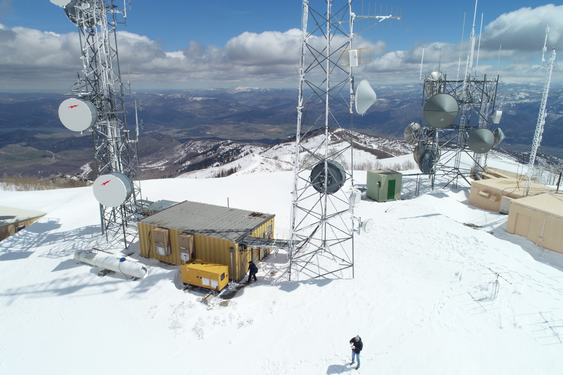
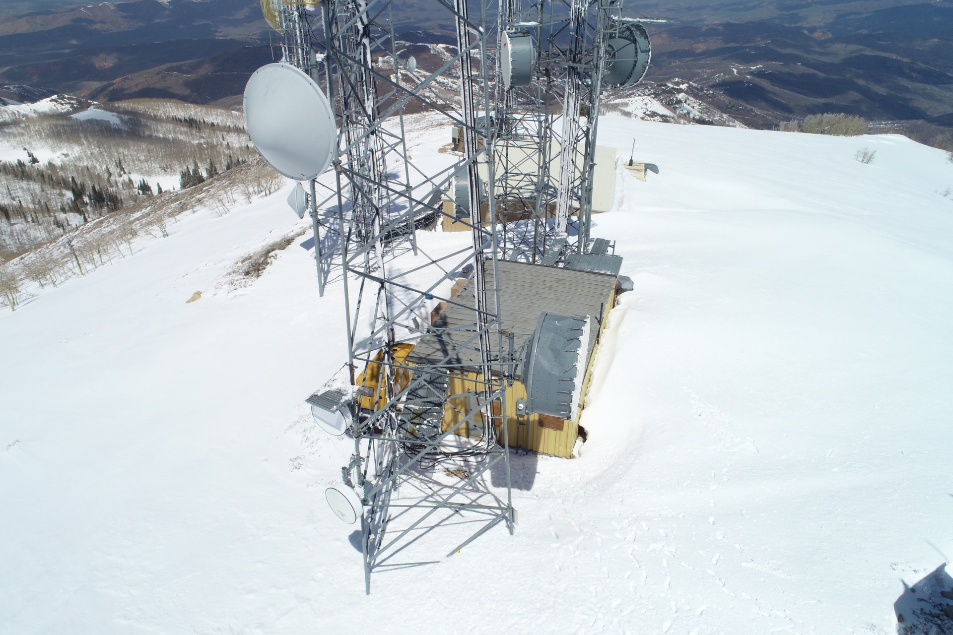
Aerial and ground photography, video, time-lapse, and 360° panoramas for industrial facilities, mining operations, and large-scale equipment. We capture the scale, detail, and activity of your operations for documentation, project management, and marketing.
Serving Salt Lake City, Utah and the Wasatch Front since 2015.
WHAT WE CAN DO
Need detailed site data? For projects requiring more than photography, our Drone Mapping & LiDAR Services provide detailed 2D maps, 3D models, and georeferenced data for site analysis, measurements, and documentation.
SOME OF OUR WORK
Kennecott Smelter Stack — Magna, Utah Explore a interactive 360° aerial panorama of the 1,215-foot Kennecott Garfield Smelter Stack, offering a unique perspective of the structure and its surrounding industrial landscape.
INDUSTRIAL & MINING PHOTOGRAPHY
A selection of aerial and ground photography documenting industrial facilities, mining operations, machinery, and infrastructure throughout Utah.